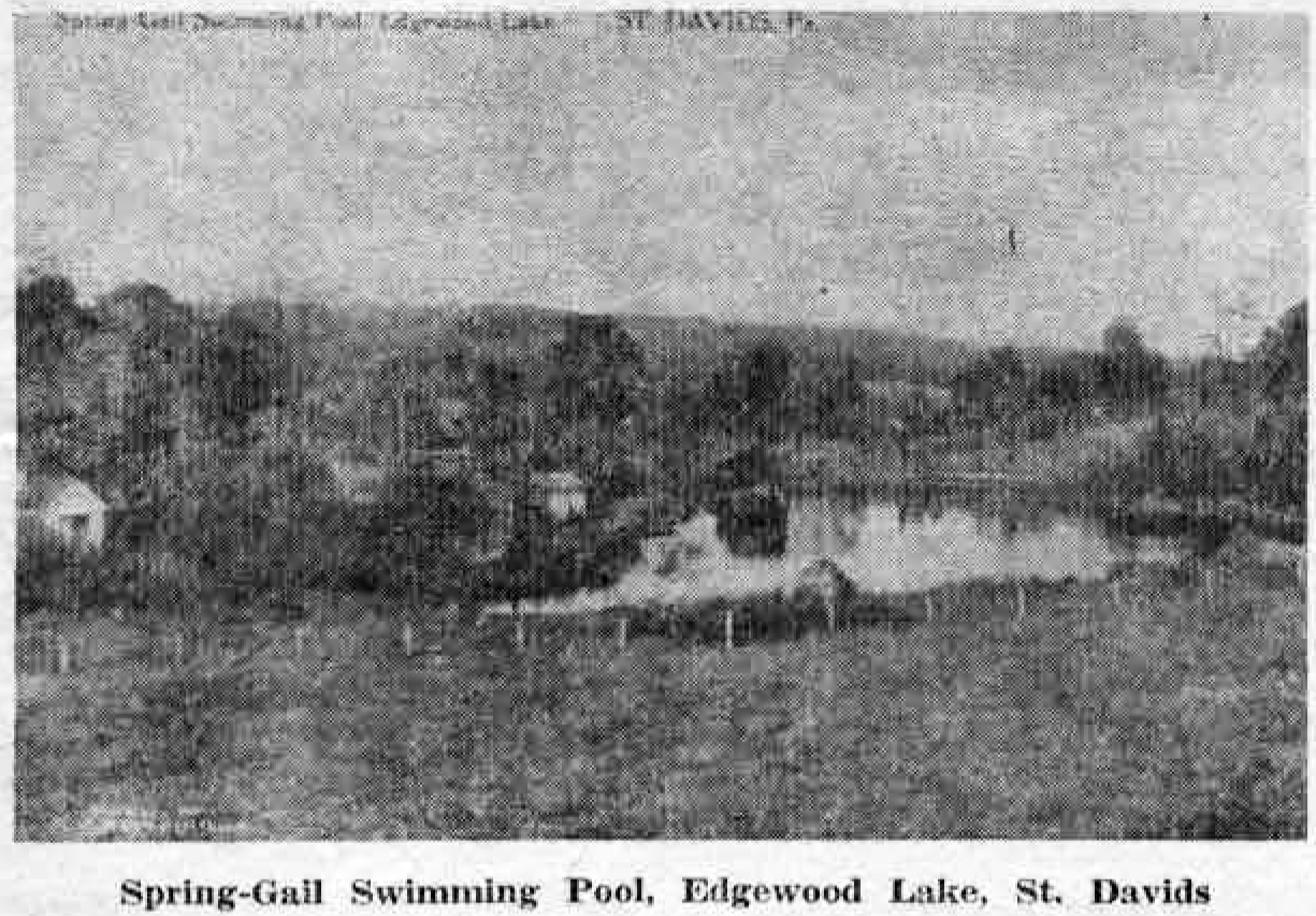
Of the old postcards from the collection stored until recently in the basement of Wack’s Drug Store, none perhaps has as much artistic beauty and interest as the first picture illustrating today’s column, showing the old Waterloo Mill, on Darby Creek. The second postcard, which has been lent by the William Henry Roberts family, is equally artistic, with its view of Old Eagle School road in Strafford.
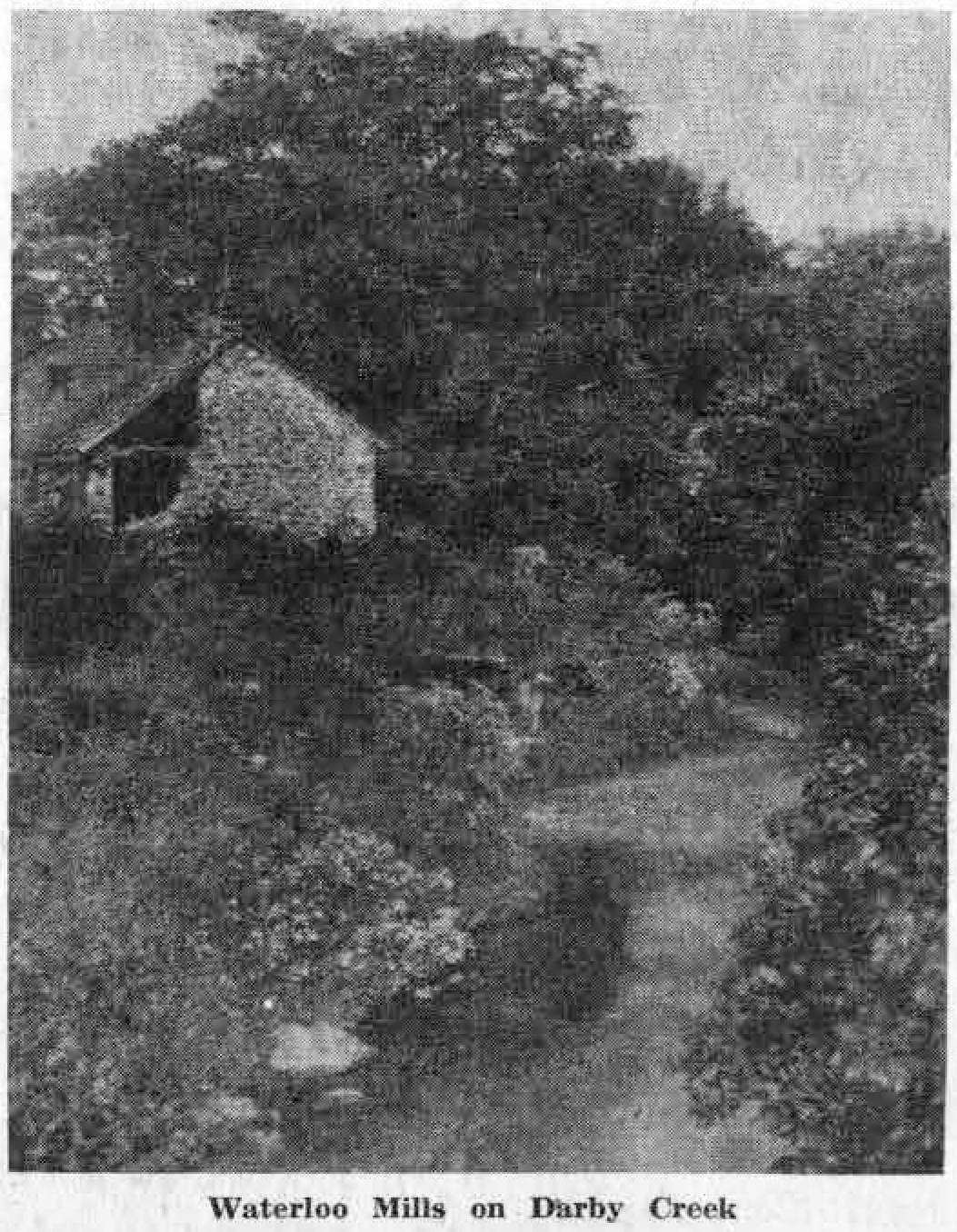 The reverse side of this 40 to 50-year-old postcard has on it the notation: “On the Darby at Waterloo Mills. These mills are about one and one half miles south of the Devon Inn. The mills and hamlet are situated in a romantic valley where the road crosses the Darby Creek. Since 50 or 60 years ago this hamlet is known locally as Cabbagetown.”
In an effort to find out whether the remains of the old mill are still in existence, your columnist consulted Albert N. Curley, who gave a talk on “The Old Mills of Radnor” at the November meeting of the Radnor Historical Society during the summer of 1954. Mr. Curley and the boys of his Scout Troop had tramped the banks of Darby, Little Darby and Ithan Creeks in order to explore the sites of the mills and the homes of the early settlers.
In reply, Mr. Curley wrote that in following Darby Creek, he and his scouts did not trace it as far as Cabbagetown and therefore he had no information on Waterloo Mills. If any of our readers possess such information, or if they have other pictures of the old mill, it would be interesting to use both information and pictures later on in this column.
(Editor’s Note: We are sure that some of our Devon readers, mindful of the recent controversy over street names, will have some interesting items of local history.)
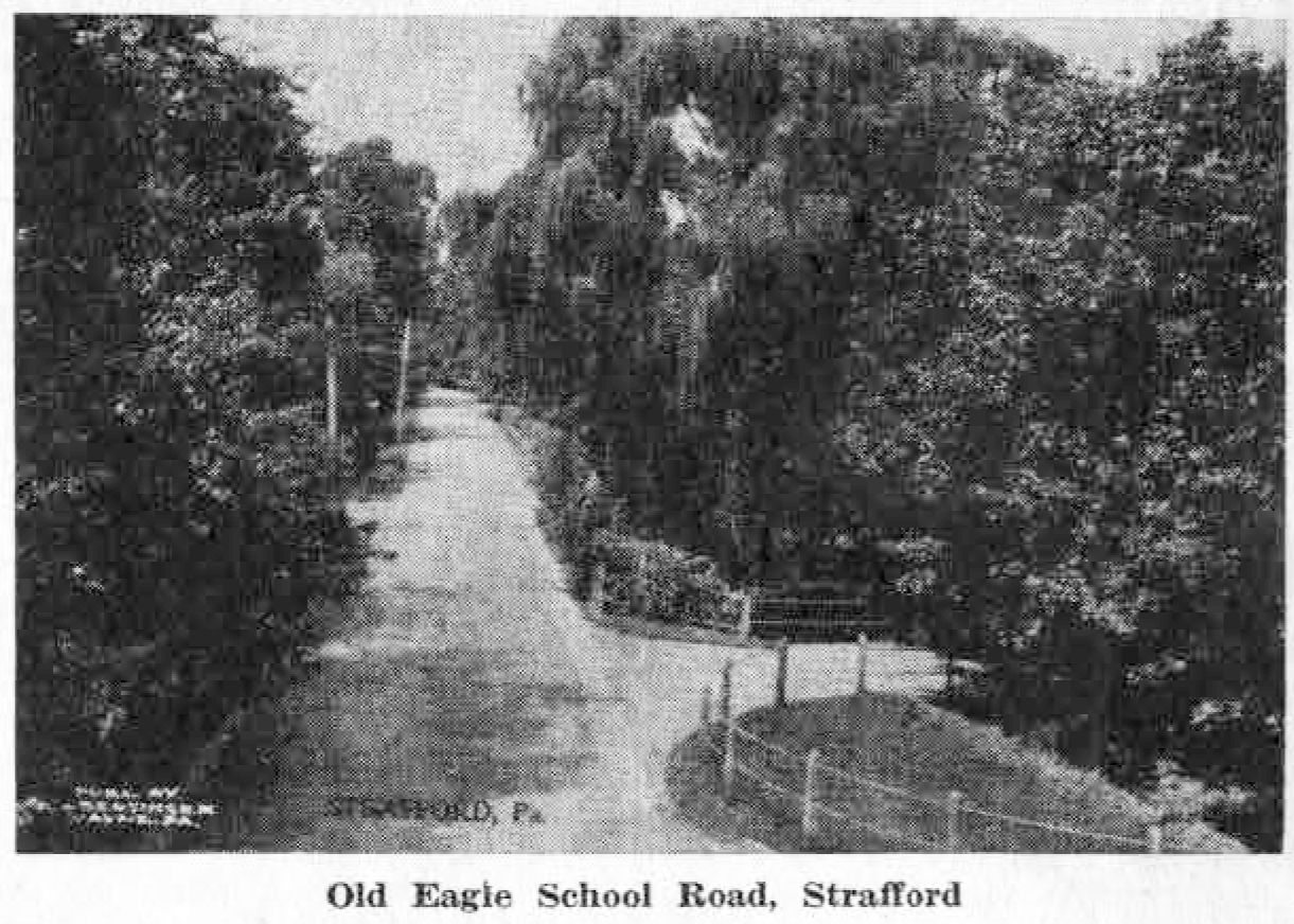 Although this postcard bears only the caption, “Strafford, Pa.,” the picture is obviously one of Old Eagle School road as it makes its way north of the overpass of the Pennsylvania Railroad. It was undoubtedly from this overpass that the photographer took his picture 40 or more years ago. Just out of sight, in the lower right hand corner of the postcard, is the shelter station on the north side of the railroad tracks, while the road on the right is Crestline road. The once neatly fenced-in grass plot shown in the picture, just this side of Crestline road, is now no longer either a grass plot nor fenced-in, since it has become the parking lot for those who leave their cars at Strafford station.
There are few roads in this entire section that have been travelled for as long as Old Eagle School road, which takes its name from the quaint little building erected about 1767 by early German settlers for church and school purposes.
The present building, so carefully preserved and tended, has a stone marker in its south gable, inscribed 1788. This stone supposedly belonged to a second building which was erected close to the first. Later on, the two buildings were apparently made into one. Surrounded by its neatly kept grounds and adjacent to the old graveyard, where “the great trees spring as often from the graves themselves as from the ground between,” the building is now under the supervision of seven trustees appointed by the court.
In this picture the old school could almost be seen up the hill, on the right side of the road, were it not for the great overhanging trees.
To the present day spectator watching the never ending flow of passenger automobiles and of trucks going so rapidly in both directions under the railroad underpass, it seems a far cry indeed to the days when the traffic on this same road consisted of desultory farm carts drawn by oxen. Their owners, driving along the narrow dirt road through the forest, were usually on their way to or from the little German settlement that sprang up in the middle 1700’s around the first small Spread Eagle Inn. That was even before the days of the second and more pretentious inn of the same name, and of the stone turnpike which, when it was completed in 1794, was the first of its kind in the entire United States.
Even in the earliest days of the turnpike, community life, simple as it was, centered around the inn. Later the second hostelry became the stopping place for the stage, and indeed the last relay station eastward on the turnpike. The mail, too, was left there. And around the inn, which was situated on the north side of the turnpike just to the west of the present Spread Eagle Apartments, there grew up the blacksmith and the wheelwright shops as well as the cobbler’s. And so, to provide for these simple needs, these early German settlers of 200 years ago travelled back and forth along the narrow dirt road which, in its present widened and paved state, is still called by the first name given it, Old Eagle School Road.